
Sometimes, what’s old is new again. We live in an era of technology evolving and leapfrogging at a rapid pace, especially when it comes to navigation. We’ve become spoiled with smartphones and apps that can give us directions to a nearby restaurant, along with the current traffic report, weather conditions, nearby parking, etc. — and all at the press of a touchscreen button.
Standalone GPS units are starting to become obsolete. They can be bulky and battery hungry, typically have a clunky user interface (aka UI), often need firmware updates, ongoing map updates, and retrieving saved data can be cumbersome. That being said, there’s still a use for them; especially in the backcountry or in more sparsely populated areas with limited cell phone coverage.
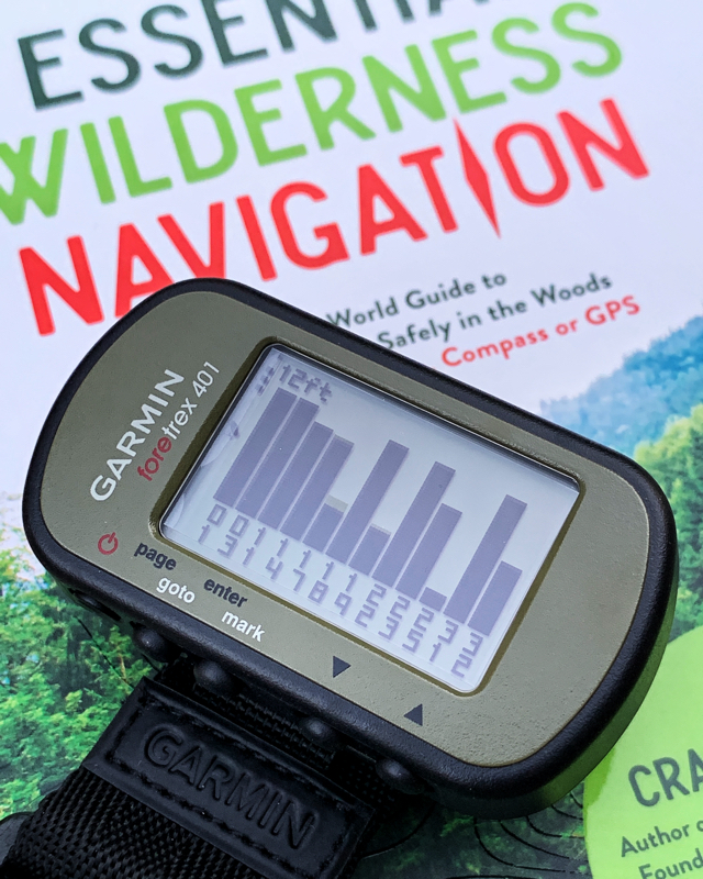
Enter the Garmin Foretrex 401. This isn’t the latest and greatest GPS — in fact, it’s almost a decade old. After years of using all sorts of units, some loaded with features, and others more spartan, it feels like it’s time to return to the basics. This GPS will easily get you to and from any point on the globe in a straight line, and save locations (waypoints) that interest you for later. There is no mapping, no Wi-Fi, no Bluetooth, just plain and simple old school navigation. Your tracks and waypoints are stored in the universal .gpx file format, able to be uploaded to the mapping program (or web site) of your choice.
With a monochrome screen and a battery life of around 8-11 hours (constant on, tracklog enabled), the Foretrex 401 isn’t likely to win any efficiency awards. But for a reliable, tough-as-nails, simple backup device that will spit out coordinates, this is near (if not at) the top of the list. These wrist-top GPS devices have been used by government agencies, military units, search and rescue teams, and wilderness experts, just to name a few.
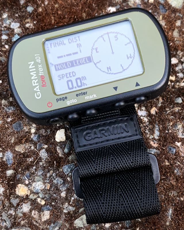
A couple of additional “nice to have” features on the Foretrex 401 include a barometric altimeter and an electronic compass. This GPS will happily run on two (2) AAA NiMH rechargeable (Eneloops are best), lithium, or alkaline batteries. (Be sure to re-calibrate the altimeter and compass after a battery change.) Satellite accuracy is often 9-12 feet (3-4 meters) in the open, which is plenty close enough for most uses. The pixelated display is backlit by a nice red-orange colored LED. And if you don’t want to bother with the included wrist strap, it can be removed to save some bulk.
It should also be mentioned that Garmin has updated the Foretrex lineup to include the newer Foretrex 601 and 701 (adds a ballistic calculator) models. Honestly, at the moment, they leave you feeling a bit underwhelmed (except for their excellent battery life). Two different Foretrex 601 units tested here over a year apart had numerous crashes, firmware bugs, mediocre satellite reception, omitted features vs. the 401, and one even had a flaky input button. Hopefully Garmin can address these issues.
All of the above is exactly why a GPS designed over ten years ago has found its way into the gear rotation. Between the Foretrex 401, a good paper map, and a quality compass, just about anywhere is ready to be explored!
Please note — all content, images, and media are copyrighted material of the respective author(s) and/or owner(s). No use without permission. © 2019
